

RE resource potential assessment considers: (i) the identification of RE candidate areas by taking into account resource availability, concentration, and extent, as well as (ii) site suitability analyses based on locational factors/eligibility and constraints.
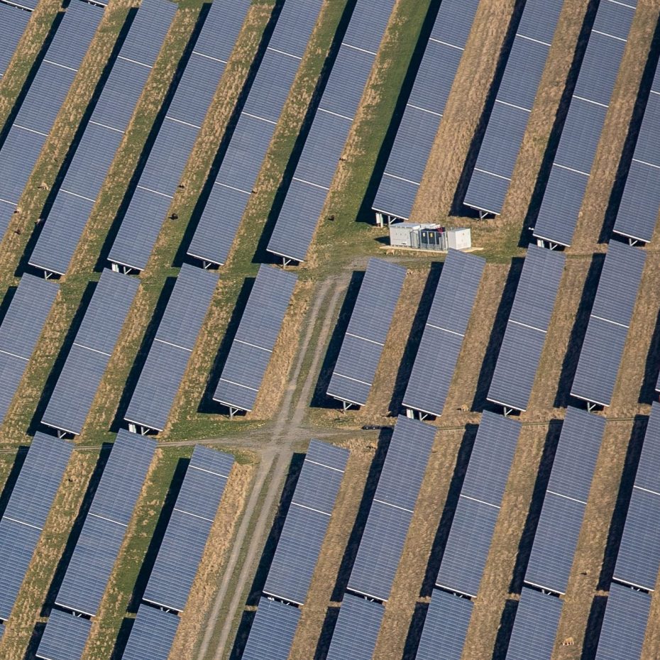
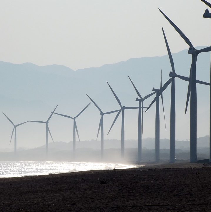
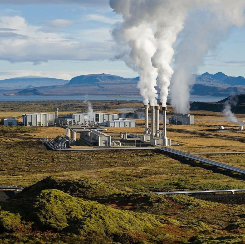
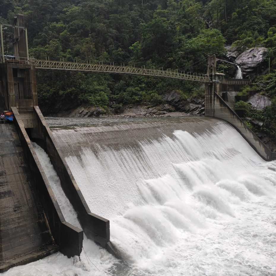
The RE types are classified into atmospheric, terrestrial, and marine. Solar and wind are classified under atmospheric RE. Biomass, geothermal, and hydropower are classified under terrestrial RE.
Resource availability for solar and wind were determined by the MO’s Regional Climate Systems (RCS) Laboratory and mapped by the Geomatics for Environment and Development (GED) Laboratory. Remote Sensing and Geographic Information Systems (RS-GIS) were applied to map biomass resource availability. On the other hand, geothermal and hydropower resource maps used existing spatial datasets.


All rights reserved. No map may be downloaded, distributed, or used without permission.